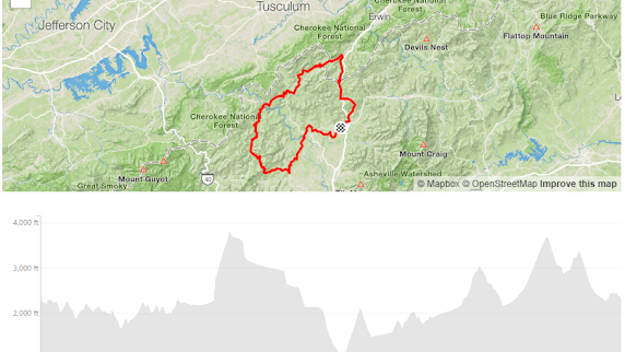
Hot Doggett Route
100 Miles
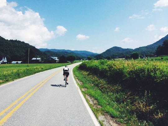
The route leaves from Mars Hill and offers rolling hills for the first twenty miles, climbing a total of 2200 feet by mile 20. Then as you roll through the valley in Sandy Mush you will see Doggett Mountain looming in front of you. With an average grade of 7%, the base of the climb is the hardest; then after mile 2 the grade lessens and you get into a good rhythm to the top. Next is an awesome descent into Spring Creek with great roads all the way to Hot Springs. This is one of the fastest portions of the route, alongside Spring Creek.
As you leave Hot Springs there is a 3 mile climb that intersects the Appalachian Trail at the top, and offers a spectacular view in either direction. After the descent, the route goes through Shelton Laurel and slowly climbs to the base of Devils Fork. Then comes a 2 mile climb, with one 1/8 mile section attaining a 15% grade!
Once in Flag Pond, there is a steep climb back up to 4,000 feet to Sam’s Gap and into North Carolina. After a screaming descent comes one last climb over Murray Mountain with another screaming descent bringing us back to Mars Hill. After over 10,000 feet of total elevation gain you’ll be happy to see the end.
Caution: Some sections of this route have little to no cellular service. Please plan your trip accordingly and ride responsibly.
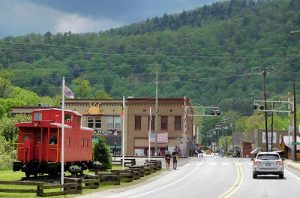
The Rotary Club of Madison County hosts a fundraising ride that follows this course (as well as the Big Laurel Grind) every July. For more information please check out www.hotdoggett100.org.
Plan your ride with Strava!