

Laurel River Trail
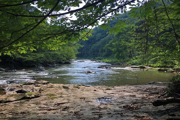
If you enjoy a quiet walk, beautiful scenery, and some terrific trout and small mouth bass fishing you will want to give the last four miles of the Big Laurel River a try before you leave Madison County. This section of the Laurel is the boldest part of the stream with swift runs and riffles along with deep, dark holes where large trout and small mouth bass can grow to impressive size.
The hike along the river is worth the trip even if the fish are not biting! This section of the Laurel River is located within National Forest Service boundaries and carries the designation for general regulations which mean the spin caster, bait fisherman, and the fly fisherman can all enjoy the day. This is an “undesignated” stretch meaning that you can fish year-round. There is a seven fish limit on trout.
Caution: Please do no walk across the railroad tracks at the end of the trail.
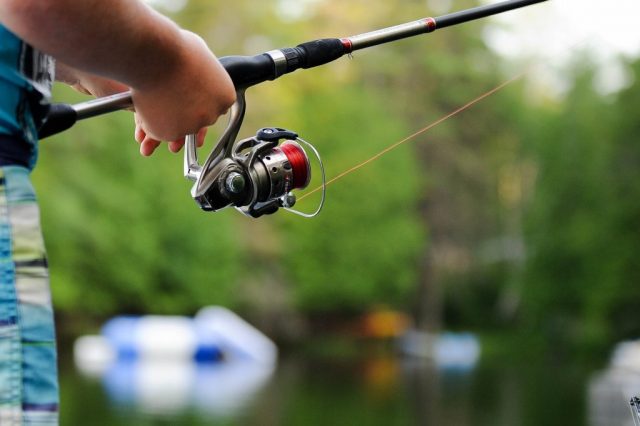
Tip: The creek is very wadable but all anglers should exercise caution when wading because of the swift water and deep pools. There are browns, rainbows and a good population of small mouth bass in this stretch of water. Most of the trout come down stream from the delayed harvest section of the Laurel and can grow to impressive size.
Bait: The usual assortment of flies and spinners can be effective in this beautiful stream. Try a Wulff in size 12 or 14, or go deep with a wooly bugger to see if you might be lucky enough to catch a “bragging size trout”!
FAQ
Directions
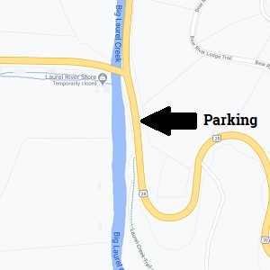
At the intersection of 25/70 and 208 (35.54 and 82.45) there is a parking area located just below the bridge going to Hot Springs. The Laurel River Trail is well marked from the parking area heading downstream and the trail follows the stream all the way to the confluence of the French Broad River at the old settlement of Runion.